Today we make it to Mt. Mitchell, highest peak East of the Mississippi. It is just under 400 feet taller than Mt. Washington,
We start out early and it is still foggy out
by the time we reach the Parkway it has cleared
We are above the clouds
We get to the turn off for Mt Mitchell
It is a short but uphill hike to the top from the Visitors' Center
An we make it to the top
but you can't see the forest for the trees and the fog
Gary would like you to believe we hiked the 6 miles up. We will do a hike though - can't go to a mountain and not hike!
We (I) decide on the Deep Gap Trail. A 2.1 mile relatively moderate roundtrip hike along a ridgeline to Mt. Craig - the 2nd highest Mountain in the East.
It starts in a picnic area
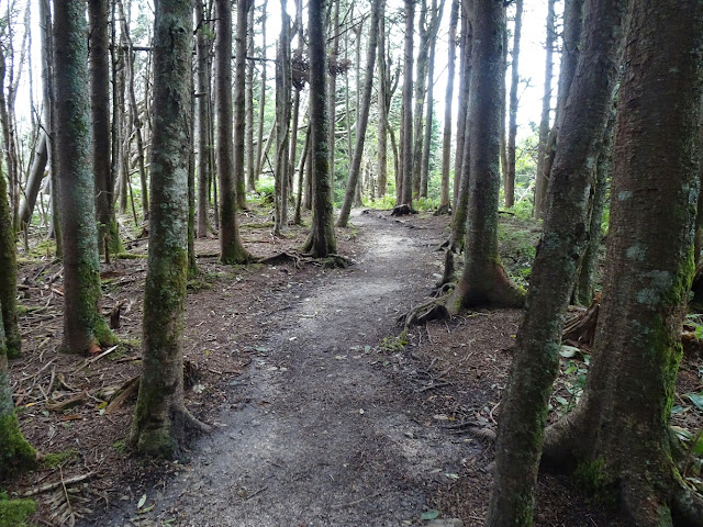
and goes to a well maintained trail through the woods.
Lots of moss and mushrooms
and stairs down
and up again
We reach a clearing and get a view
It's a bit chilly up here
Not the end yet - so we mosey on
The trail is getting a bit more technical so Gary and Tucson wait while I finish the last 1/4 mile.
There are some scrambles up
Think I"m almost there
Must be it
The fog is starting to lift
a few hundred feet further down the trail is the plaque
Oops the fog rolled back in
The trip back to Gary and Tucson was a lot faster than getting to the top
Tucson makes some friends on the way back
and I find some raspberries
Views are getting better on the way down
I was concerned about the hike bike after coming down all those steps,
figured it would be a bear going back up
We always say "no dog left behind" when we are taking Tucson with us somewhere
He returns the favor
Surprisingly the return trip was super easy. Got back to the top in no time and went back to the observation tower to catch the views.
In 1835, Dr. Elisha Mitchell, a science professor at the University of North Carolina, made an excursion to the area to measure the mountain elevations .Mitchell figured the highest elevation of the range to be 6,476 feet. Further visits to the Mountains in 1838 and 1844 led Dr. Mitchell to re- calculate the height of the peak at 6,672 feet—only 12 feet in error to todays calculations.
In the 1850s, controversy arose about which peak in the range was the highest. Thomas Clingman, a former student of Dr. Mitchell's, set the elevation of the highest peak at 6,941 feet and insisted that Mitchell had measured another peak. In 1857, Dr. Mitchell returned to verify his measurements and to support his claim. While hiking across the mountain, he fell from a cliff above a 40-foot waterfall. Knocked unconscious by the fall, Dr. Mitchell drowned in the water below. The Mountain as given his name in 1858. Though originally buried in Asheville, Mitchell's body was reburied atop Mount Mitchell a year later. This is his resting place
That peak across the way is Mt. Craig where we hiked to.
Back to the beginning
and a beautiful drive
We are starving because I didn't pack a lunch as there is a restaurant up top - true to form, it was closed.
I went on google maps and found the closest restaurant and crossed my fingers. The Moose Cafe
A winner! Good food, reasonable prices and great service. We both had the stuffed peppers with different sides.
Another great day


No comments:
Post a Comment
Talk to us! Let us know what you think!