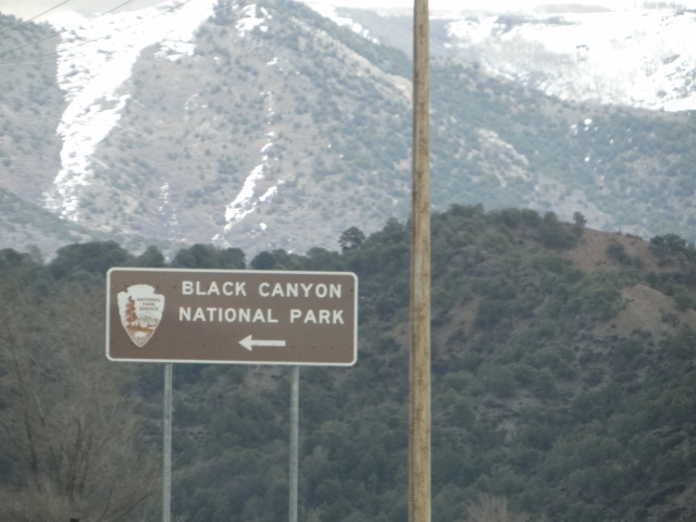
We arrive!

When we pull into the Campground we find out that the Electric loop is not open. It starts to snow pretty good and we drive through the one loop that is open and a small trailer that pulled in just before us takes the Handicap spot with the concrete base. Everything else looks too tight for us so we went back to the entry and were going to park there for the night but when the snow stopped we took a walk through and found a back in site. No pics as that portion of pictures were on my phone and got lost in a cloud somewhere.
There is a 7 mile scenic drive in the Park and since the Sun has come out and I have no internet to check the next day's weather, we decide to drive it now and save a hike and the road down to the dam for tomorrow, weather permitting.
The Gunnison River drops an average of 34 feet per mile through the canyon, making it the 5th steepest mountain descent in North America - the Colorado River drops through the Grand Canyon at 7.5 feet per mile.
Tucson enjoys the view.
The scenery and even the overlooks are spectacular
The Black Canyon is so named because of its steepness which makes it hard for sunlight to reach into its depths. As a result, the canyon is
often blanketed in shadow, causing the rock walls to appear black. Parts of the gorge only receive 33 minutes of sunlight a day,
The river started its course 10 - 15 million years ago and carved into the rock at a rate of 1" per hundred years. The river continues to carve the rock at a rate of the width of a human hair a year.
The greatest depth of the canyon is 240'
At its narrowest, the north and south rims are 40' apart at the river. It is difficult to imagine anyone even contemplating putting a railroad in the canyon or building a tunnel to divert water for irrigation but I never cease to be amazed how the human mind can conceive such endeavors. If you are interested in learning more about those feats, here is the link to the NPS :
https://www.nps.gov/blca/learn/historyculture/people.htm
https://www.nps.gov/blca/learn/historyculture/people.htm
This is called the painted wall and is the tallest vertical wall in the state of Colorado with a height of 2,250
feet
Snow covered mountains in the background
We make it to the Sunset Point vista in time to catch the Sunset
The next day the weather is beautiful but find that the winding road down to the dam is not yet open.
We opt to drive the Scenic road down to the end to do the Warner Point Trail Hike.
We opt to drive the Scenic road down to the end to do the Warner Point Trail Hike.
A Juniper Tree
I guess 1373 yards sounds shorter that 3/4 of a mile
The trail leads uphill and views come into sight
An interesting rock formation with painted rock wall in the background
The Uncompahgre Valley below. Agriculture was made possible here by construction of the Gunnison Tunnel which diverted water from the Gunnison river from the canyon.
Around 1894, surveyors eventually found locations for both ends
of a tunnel from the canyon to the valley meeting
in the middle. From 1905 to 1909,the Bureau of Reclamation cut an 11' x 12' tunnel six miles through the cliffs of the Black Canyon.
Almost to the end!
Tucson enjoys the views here too
Especially when the seating is snow
The Canyon seems to go on forever
Gary says he can see the Truck across the way.
I zoom in and by golly he's right!
We get back and I see this sign. Oops! I ask Gary how I could have missed it. He confesses that he stood in front of it so I wouldn't see it. Tucson loves Gary.
Tomorrow - the Blue Mesa Reservoir


No comments:
Post a Comment
Talk to us! Let us know what you think!