As soon as we finish work today, I make a picnic lunch and we head to Hell's Backbone Road. Hell's Backbone was another Civilian Conservation Corps engineering
feat built to connect Boulder, the last
frontier town in the state that still relied on mules to deliver the
mail, with Escalante, made famous by its tortuous Hole-In-The-Rock
Expedition. The 38 mile gravel road winds up to 9,000 feet through Box / Death Hollow Wilderness.
We head East
It starts out as the same road to Posey Lake
Horses out in the field
It is part of the Dixie National Forest
Only 26 miles to go!
We start to see part of the Box Death Hollow Wilderness
The road gets a little more twisty turny through the Dixie National Forest
and we start getting some better views
Must be getting closer to the 9,000 elevation
as the trees here haven't leafed out.
Pictures just don't do it justice
More barren trees
It's definitely cooler up here
We stopped along the road and did a short walk over to a view
Back on the road - what could be around the next bend?
Finally we are reaching the Bridge!
Hell's Backbone Bridge is 109 feet long, and 14 feet wide.
And has a 1,500-foot drop is on either side.
There is a nice pull out on the other side
so we can park and have lunch. Gary and Tucson stretch their legs.
I climb down the rocks so I can get up on a Pinnacle to get
a picture of the bridge. People have carved their names in the rocks.
A picture of Gary . . .
Taking a picture of me
A shot of the bridge from my perch
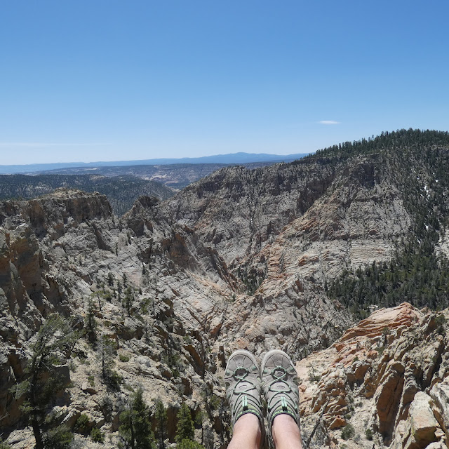
I sit down and soak in the view for a bit.
Gary says he's hungry so I head back
Everywhere you look is stunning
Did someone say there was a bone here?
Now the ride down the mountain to Boulder. This side of the bridge the road is barely more than 1 lane wide.
And you don't want to veer off to either side
The road veers to the left
But that's our road down there to the right
I can't believe people are biking up this road!
Must be getting close to the bottom
The road loops us back to ByWay 12 in Boulder and through
Grand-Staircase Escalante back to home
Can you guess the route of the Escalante River down there?
The final stretch home


No comments:
Post a Comment
Talk to us! Let us know what you think!